Tuesday, March 28, 2006

Congratulations!

To The Author/s of the An Habunganon Blogspot,

I would like to express my heartfelt gratitude and to congratulate the author/s of this blogspot for his/their endeavors of "uniting" all the Habunganons all over the world.

This will definitely help all the kalumun-lumunans to be in touch with each other through this facility.

Thanks again and may God bless you.


Monday, March 27, 2006

pagsayup nan suga sa bolobolo

Punta San Jose (Magdagooc)

Butuan Bay By The Hills Of Badiang

tin-aw karadjao na danaw

Official Seal of the Municipality of Jabonga, Agusan del Norte

Lake Mainit From Afar


dinahik na baroto

Canoeing in Jabonga

Canoeing

With the 17,430-hectare Lake Mainit, seven major rivers, and 102 kilometers of marine coastline, canoeing is a growing adventure activity.

A canoeing tour package is now available year-round for tourists.

Lake Mainit on the Jabonga side and the historic, 29.1 kilometer Kalinawan River are venues of the Caraga 30 K Baroto Marathon, the longest paddling race in the Philippines for 3-seater dug-out canoes, held every June 14-15 during the annual celebration of the Araw ng Agusan del Norte.

The contest is about to become a Mindanao Island affair.

Jabonga: a haven for the ecotourist

Check out Jabonga!

A haven for the ecotourist
By Francis Rex Alger
Friday, September 24, 2004

Mark my words: Jabonga, Agusan del Norte will be the next biggest ecotourist destination in the Philippines. The nature lover is just beginning to discover this treasure in the Caraga region, and a lot of surprises await him.

Clear blue waters and a landscape rich in gentle slopes and abundant greens surrounds the town of Jabonga. Not far from the municipality is a handsome mountain, which provides a panoramic view of Lake Mainit, the third largest freshwater lake in the country. If mountaineering is not your thing, then a week-end drive along the national highway will also give you a splendid view of the lake. Either way, you will agree with me when I say that the picture you will see is truly breathtaking.

Endless natural wonders

In my recent trek up the mountain of Jabonga, every turn I made showed me one awesome sight to another.

From the one spot where I stood, the lush peaks looked like graceful eyelashes from below. And as I turned a little to my right, another stunning view met my eye: The snake-like Calinawan River that settled boldly below the slopes.

To my left were more natural wonders to see: The Butuan Bay and Camiguin’s Hibok-Hibok Volcano in the distant background. I thought then and there that Tagaytay’s view from its highest point—the Taal Lake and Volcano, specks of the Batangas countryside and Laguna de Bay in the distance—paled in comparison to what I saw.

One of the mountains encircling Lake Mainit is the 1,850 meter high Mabaho, which is one of the tallest peaks in Caraga. Moreover, it is in this elevated region that Caraga’s endemic species (the Philippine Eagle among them) can be found.

The clouds were fun to watch too. At one moment, they billowed like waves above the towering peaks. Everything looked so peaceful, so calm, from up there.

A trip to town

After the exhilarating nature trip, my host, Jabonga’s boyish-looking mayor Lolong Monton, took me to the town hall for refreshments. More sight seeing followed at the nearby parish church. The religious edifice, I was told, is the town’s most prominent landmark.

Our Lady of the Assumption Church is the oldest surviving church in Caraga. The Augustinian Recollect Friars built it in 1622, but the structure was eventually damaged in a fire. In 1878, the Jesuits rebuilt the Church using 14 types of hardwood, including narra, mangcono, tugas and bayong. Today, you will see an impressive altar made of 25 centimeter thick molave slabs. The beams and points are even thicker and are as hard as rock.

Beside the Church, meanwhile, is the municipal museum, housing artifacts that back to 1007 AD. The pieces, attest to a trade between Agusan del Norte and China and Vietnam.

In the end, I was sad to leave the picturesque town and the lakes and hills of Jabonga. But luck was on my side when I boarded the Super Ferry. It was a beautiful night, and although there was not a star in the sky, lights from the lower lands of Jabonga shone from afar. I could almost make out the beauty that lay behind them.

First Post of a Habunganon Affair

A "pocket" of Habunganons had a mini-reunion cum agendaless meeting at Sta. Lucia East Malls in Cainta, Rizal with the Rosaleses: Efren and Belle with Ginbo and Yumi; Eman and Narcie (not seen in the pictures with Kaye and Jake); the Granas: Elvin; Bembot; Terence and Thel with Jombo in attendance.

Emman and Narcie own a "vanity" boutique in the mall named " Kaye Plus."


Friday, March 24, 2006

An Mamalingay

This is the typical fisher folk in Habungan, who catches fish from Lake Mainit for a living, using the gear commonly called "baling."

Here, he is mending his torn gear so that the caught fish can not escape from the net.

Thursday, March 23, 2006

acacia tree at the lake shore

Acacia Tree At The Lake Shore

this tree has been on the site since time immemorial. this is where the boys used to put their pants and shirts that made them naked, before soaking themselves into the waters of the lake.

this is one of the landmarks of the town.

by the way, this is where the fishermen, with their catch and the "buyers" of the fish meet.

amo sab ini an lugar na kuwartisahanan nan mga buadja na kuha ni buadjero sa katuug-tuugan nan kalinawan. the guy was also commonly known as "crocodile dundee" of habungan, the father of "baby alligator."

Wednesday, March 22, 2006

Two faces of Agusan del Norte

First posted 00:50am Sept 11, 2005
By Joel V. Nigos
Inquirer News Service

AGUSAN DEL NORTE, SITUATED IN THE NORTHERN PART OF Mindanao, is a small and quiet province rich in heritage and culture. At the same time it boasts of several wonderful gifts of nature that are perfect for people on the lookout for some adventure.

Butuan City, the province’s capital, is the site of the oldest settlement in the Philippines dating back to the 3rd century. Recent archeological findings prove the existence by the river of a prehistoric city.

It is believed that Butuan City is where Portuguese navigator Ferdinand Magellan proclaimed Spanish sovereignty over the Philippines in 1521.

The 1872 Magellan marker, which claimed that the first Mass was held in Butuan on April 8, 1521, was erected by the Spanish governor José Maria Carvallo. A monument containing the marker can be seen by the bank of the Agusan River, at Butuan’s former poblacion known today as the town of Magallanes after the Spanish conquistador.

Also in Magallanes is the 500-year-old Bita-og tree.

At over 300 ft in diameter and situated along the national highway, the tree is the oldest and the largest specimen in the Philippines still accessible to people. It will take about 12 people with arms outstretched to fully embrace the tree’s trunk.

Unique phenomenon

Relics and cultural artifacts abound in Agusan del Norte, among them the balanghai boat, which was discovered in Ambangan, Libertad. This wooden plank-built and edge-pegged boats averaged 15 meters in length and three meters wide across the beam. The maritime vessel and the cultural artifacts found with it are associated with an affluent seafaring people. The finds have no parallel in Southeast Asian prehistoric archeology.

At present, and with research and excavation still ongoing, 11 boats have been dug so far. The first boat, the biggest so far, is 16 meters long and three meters wide. It is now displayed at the Shrine Museum in Butuan City. The second boat is displayed at the National Museum in Manila.

So far, relics and artifacts that have been found date back to 320 A.D. This proves that the area was a big flourishing settlement and trade center in Southeast Asia at around 700 B.C.

Old churches and houses that date back to the 1800’s also dot some towns of Agusan del Norte. In Cabadbaran are the Atega Mansion and the Candelaria Church. At nearby Jabonga is the Our Lady of Assumption Parish. Built in 1878 in native molave or tugas, its original retablo made of fine wood and with very elaborate designs is still intact.

The original church bell can be found in the nearby parochial museum, as well as chalices, crucifixes and a Latin Missal that were all used in early church celebrations.

Natural wonders

The province is also blessed with great natural wonders. Eco-tourism activities like spelunking, canoeing and kayaking use indigenous materials. This makes them highly sustainable and not capital intensive. The canoe used by residents for fishing and for cruising are made of native narra. They are usually referred to as dug-out canoe.

At Lake Mainit, the famed freshwater lake so-called because of its warm water, is where the fluvial procession in honor of Our Lady of Assumption, Jabonga’s patroness, is observed. It is also where the Caraga 30-km Baroto Marathon is held during the celebration of the Araw ng Agusan del Norte in June.

A confluence of 28 rivers, this 17,430-ha lake situated 80 ft above sea level with a mean depth of 128 meters is the 4th biggest in the country. It also has a total of 87,072 ha of total watershed areas.

Kalinawan River

The Kalinawan River, where the lake empties its water, is where endemic as well as endangered flora and fauna are found.

The pidjanga, regarded as a delicacy by both local and visiting folks, as well as the gabot, freshwater eel (kasili), carp and tilapia (nilotica) are a source of livelihood to residents. Freshwater flowers such as the pink and white pagosi (sacred lotus) and tabukali (water hyacinth) add splendor to the lake. These flowers are also used to make handicrafts such as slippers, baskets and bags.

The river’s lush vegetation that typifies the Agusan marshland and the migratory birds which frequent the area make it simply perfect for cruising and game fishing. Eagles gliding over the water waiting for their preys create a wonderful scene. Giant purple herons and fowls believed to be from Siberia come during summer for breeding. It takes 45 minutes by motorboat to cruise the entire river.

Dive sites

Scuba diving is also a growing activity in the area. A total of 22 dive sites dot the entire province—with 15 in the municipality of Carmen, six in Jabonga and one in Tubay. The waters at Carmen provide an excellent 80 ft of visibility. The profile ranges from sloping walls to cliffs ranging from 40 to over 100 ft. Its reef life is bountiful, with soft and hard corals plus abundant reef and pelagic fishes, and has generally white sandy floors.

The Jabonga and Tubay dive sites, meanwhile, are generally rock formations—crevices, caves, alleys, overhands, walls—with depths ranging from 45 to over 200 ft. Pelagics abound together with snappers, sweetlips and trevallies. Fish life is bountiful.

Lepanto Tunnel 240

A walk through the stretch of the first level of the Lepanto Tunnel is an added attraction. It leads to what was in the ’60s and the ’70s a mining site for gold, silver and copper by the Lepanto Mining Company (hence the name).

The whole tunnel stretches up to 1.5 km which can be traversed via normal pace in about an hour. Its height and width are both 14 ft and has five lateral levels with vertical connections at the rear end of the tunnel. Currently, only the first level is open for viewing to the public. Located in the municipality of Cabadbaran, a large number of gold millers are still around the area. Gold panning from resident millers can be frequently viewed.

Going to the province is no problem since there are daily flights from Manila and Cebu. It is also easily accessible by ship from Manila, Cebu and Bohol. The peace and order situation should not be a concern since the province belongs to the Caraga Region, which statistics would show, is the country’s most peaceful region.

Pidjanga

Pidjanga, glossogobius giuris, is a freshwater fish endemic to Mainit Lake. It is called “biya” in Tagalog and “white/tank goby” in English.

source: mainit dot com

Jabonga Catholic Church

Augustinian Recollect Friars (OAR) established Jabonga mission in 1621 along the bank of Calinawan River as the site where Bgy. Colorado is situated at present. The Spanish Jesuit Missionary, Fr. Saturnino Urios, led the villagers in 1877 gathering narra, magcono, tugas, bayong and other materials for a more permanent church. On the following year, construction was constructed near the site where the Celupan River empties into the lake. Fr. Guillermo Llobera, SJ, blessed the new Church measuring 84x24x16 varas on the feast of Corpus Christi of 1897 missionaries from Butuan residence supplied the pastoral care of the pueblo since its foundation.

In 1915, Dutch Missionaries of the Sacred Heart (MSC) succeeded the Jesuits in shepherding this "Vista". Bullet-pocked marks her sanctuary walls and ceiling were her fair share of World War II memories. In 1955, the parish of Kitcharao took care of her spiritual administration.

Monsignor DF Morelos, the First Bishop of Butuan raised Jabonga and Santiago towns into a single parish on May 27, 1979 with our Church of Our Lady of Assumption as the Mother Church. Fr. Avelino Balatucan was named first pastor. Typhoon Nitang blew off a portion of its roof on September 3, 1984 leaving intact the antique table of the main altar.

As the nation celebrates the centennial year of Philippine Independence, Monsignor Juan de Dios Pueblos, the present Bishop of Butuan, appointed Fr. Joesilo C. Amalla on June 1, 1998 for the "Cura Animarum" of the present day Jabonganons. O Dulcis Virgo Maria, Regina in Caelum Assumpta, Pro nobis ad Te Recurrentibus ora!

Source: Historial Places to Visit

Tuesday, March 21, 2006

My Jabonga

Jabonga lies within the grid 90 degrees 18 minutes to 9 degrees 23 minutes north latitude and 125 degrees 43 minutes east longitude.

Its boundaries are Kitcharao and Surigao del Norte to the north; Butuan Bay to the west; Tubay and Santiago to the south; Surigao del Sur to the east.

It is 59.7 kms. from Butuan City.

It has a total land area of 29,300 hectares of plain to rolling and hilly lands.

Among the municipalities, Jabonga ranks first in total area and number of farms (464) which are mostly owned by individuals. It has one of the 36 crop storage facilities of the province.

Its major crops are coconut, rice, corn, timber and both fresh and sea-water fish.

Ang Jabonga usa ka ikaupat nga klase nga lungsod sa lalawigan sa Agusan del Norte sa Pilipinas.

Sumala sa sensus sa tuig
2000, kini may populasyon nga 20,501 ka tawo sa 3,742 ka bubong.

Ang lungsod nabahin ngadto sa 15 ka mga
barangay.

Baleguian
Bangonay
A. Beltran (Camalig)
Bunga
Colorado
Cuyago
Libas
Magdagooc
Magsaysay
Maraiging
Poblacion (Jabonga)
San Jose
San Pablo
San Vicente
Santo Niño

Lake Mainit: In The CLoser Look

By RUBELYN YAP

I always find Lake Mainit very enchanting and mysterious but when the Department of Tourism-13 conceptualized the Lake Mainit Grand Festival last month, it gave me the chance to visit the lake and the towns that surrounds it namely Jabonga, Mainit, Kitcharao and Tubay all in the provinces of Agusan del Norte and Surigao del Norte.

The towns

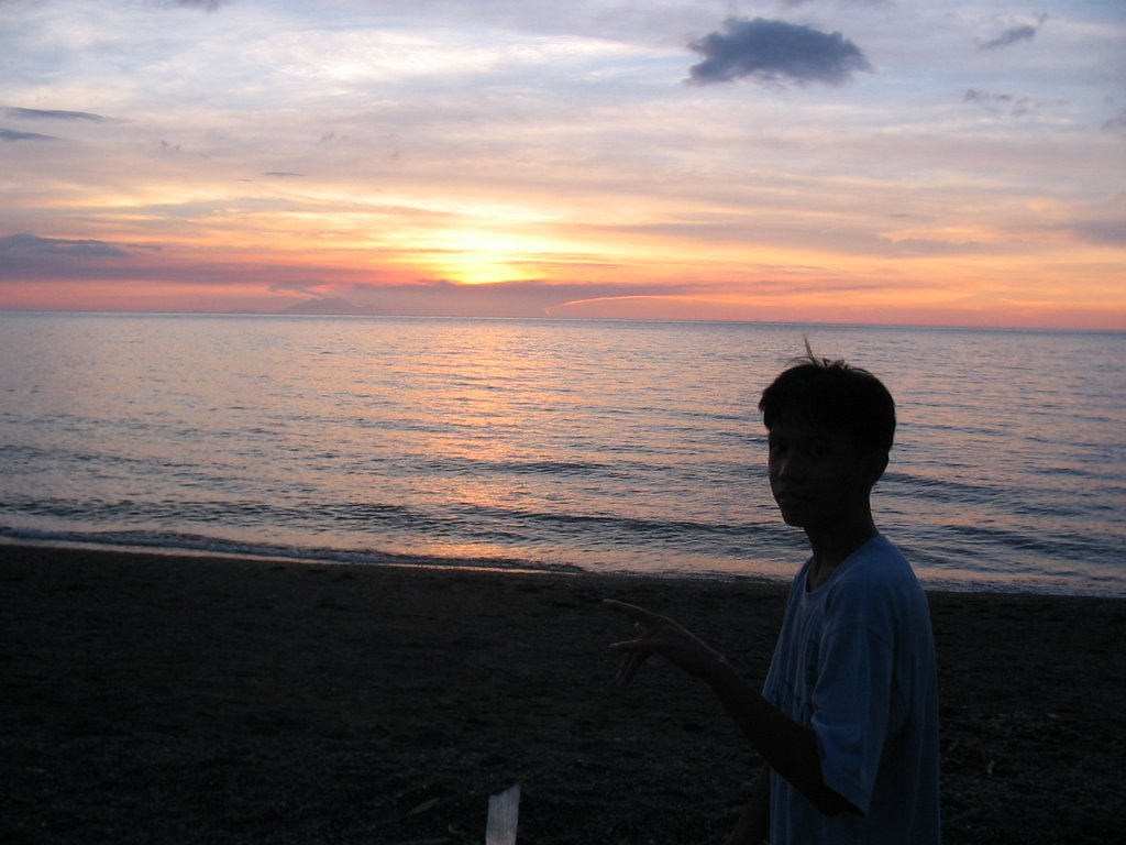
The first destination is Jabonga in Agusan del Norte, the site of the opening ceremony of all the activities for the grand fest namely Fluvial Parade, Baoto Race and the Lake Side Mountain Bike Challenge. Our group arrived in Jabonga's Great Lake Resort at around 4:00 p.m., looking at the lake a few steps from where I stand feels like your in paradise, its vastness would always makes me wonder how it is created.

Jabonga mayor Glicerio Monton, Jr. gave the group a chance to tour the lake through their 10-man capacity speedboat, without any vests I bravely ride and enjoy the scenery of the lake that surrounds me.

The wind in the area of Jabonga was so strong, the reason why windsurfing is good.

As we tour the area, many fishermen are waiting for the afternoon catch using their "Baoto" or Canoe made out of a hardwood tree known as Tugas and Magkuno.

Jabonga is an old settlement area that dates back to 1500's, known as Pueblo de Habongan (means shelter).

The town has 15 barangays, four in coastal, five are lakeside and six are near the mountain along the highway with a 25,000 population.

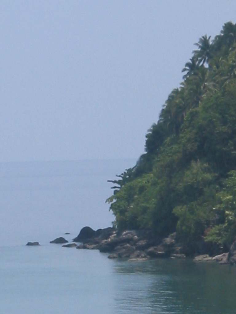
The town envisioned to be an Eco-Tourism destination in Caraga as it has trekking along Malimono range; diving in the Butuan Bay were seven dive sites are recently discovered; and kayaking, canoeing, windsurfing in the lake and cruising in the Kalinawan river, the lake's only outlet towards Butuan bay.

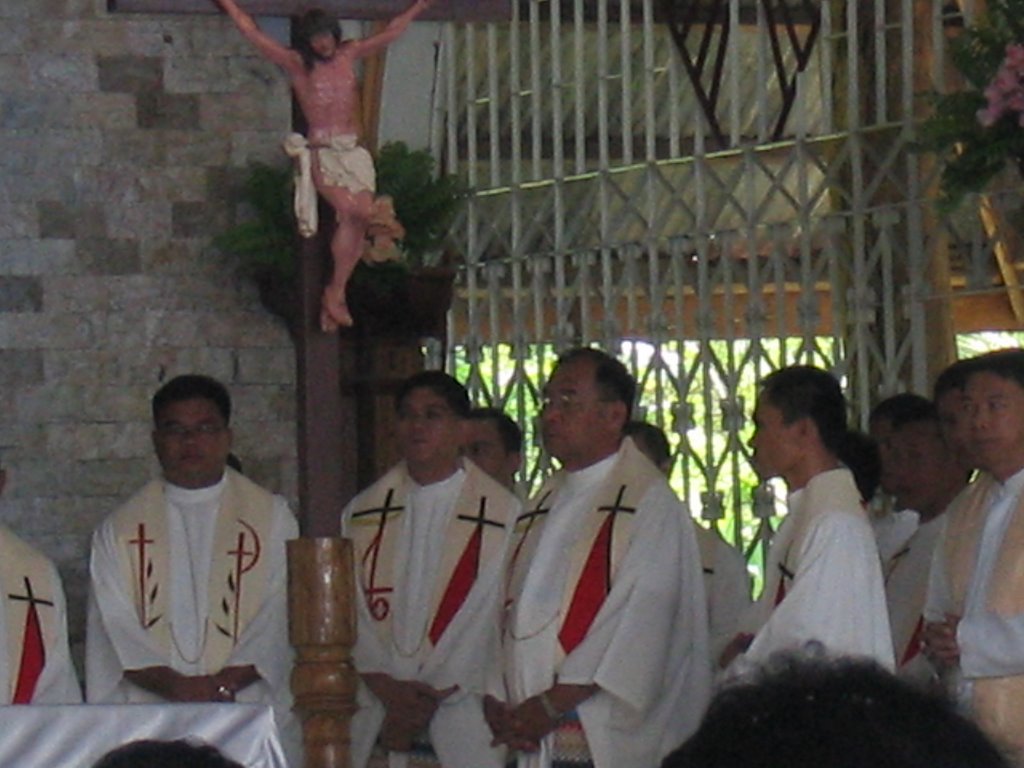
Jabonga has a very historic church that was built in the 1800's by the Jesuits and has a very beautiful, unique altar that is made of a hardwood tree.

Near the church lies the museum of the town and the old cemetery dates back to the Spanish time.

They have a very historical bell that is believed to be buried in the Kalinawan river and is one of the famous treasures of the town since it is a silver bell that was brought by the Spaniards from Spain.

To this very day, Jabonga is a disaster prone area since once a year, a flood will hit them that causes the lake to rise up to the side of the lakeside road that is more than 10 feet.

The second destination is Mainit town in Surigao del Norte where one can see the end of the lake for the fluvial parade and the awarding of the mountain bike challenge, then we proceeded to Kitcharao in Agusan del Norte for the turn over of the Mamanwa Cultural Center and the Lake Mainit Eco-Tourism Center and a fluvial parade.

The last destination is the town of Tubay in Agusan del Norte for the closing ceremony.

It is a small town facing Butuan bay and was once the center of commerce in the Spanish days since goods are transported in the area going to Lake Mainit using the "baoto".

Mayor Fidel Garcia said that the closing activity is significant as to the history of Tubay and Lake Mainit since Tubay is the only outlet of Lake Mainit through the Kalinawan river.

After the one day event that brought me to four towns, there is one thing that reminds me, a message I saw in one of the boats in the fluvial parade that states, "Ampingan nato an bahandi nan Danao na tagahatag nan ato kinaiyahan kay amoy tagapanginabuhian nan ato mga katiguyangan (We should take care of our treasure, the Lake, it is a gift of nature to us and it is where our ancestors earn their living)."

The Great Lake

As to the where the lake's name came from, locals believed in one legend as told by our homestay mistress 86-years old Maria Mordeno Grana who heard the story from her grandparents who was once the Cabiza de Barangay in 1800s.

Long before, the area was inhabited by a supernatural couple named King Camig and Queen Ding with their animals.

The couple were very happy in their kingdom full of animals that every full moon, they had a merry-making.

In one occasion, the hornbills which were beside the king and queen, created a loud and boisterous sounds irritating the couple.

They then decided to leave the place at that instant in the middle of the special occasion. As supernatural as they were, the couple was able to bring their land and find a peaceful place where they can transfer their land.

In their hurry, a small portion of land was left behind and a deer (usa).

An unattended teapot boiling with water tilted, emptying its content and the golden ladle was thrown out.

When the royal couple was already in Butuan Bay going to Misamis, King Camig remembered a small piece of land to fetch it, reminding it to hurry and come back before the sun rises because something might happen.

Unfortunately, it was caught by the sunrise and true to its form, the land froze in its place and cannot move a distance anymore.

This land as they say is now called Tubay-Tubay because it only reached the Municipality of Tubay.

Right after the couple left, there was a heavy rainfall which made the vacated land filled with rain waters.

Apparently, it became a lake.

On the other hand, the water from the boiling teapot made the lake hot sometimes thus the lake was called LAKE MAINIT.

And the deer which was left behind became the islets that can be seen in the lake called Usa-Usa, at the closer look the islets looks like a deer.

It is believed that Camiguin Island was the new kingdom of King Camig and Queen Din.

Seen at an aerial view, the shape of the island is similar to the shape of the lake.

The flora and fauna of the areas are the same, birds are alike.

The lake is the fourth largest lake in the country with a surface area of 17,060 has a shoreline of 62.10 kilometers cuts across two provinces in the northern side of Mindanao-Agusan del Norte and Surigao del Norte.

It has a maximum depth of 223 meters enough to submerge a 57 story building, has 28 river tributaries and 87,072 hectares of total watershed areas. Jabonga shoreline has the largest lake shoreline at 22 kilometers while Kitcharao has 11.10 kilometers and Alegria has 8.40 kilometers.

A total of 31 barangays spread in these four municipalities depend on the lake for their food and livelihood.

The lake is most known for its rich fish resources, especially as a habitat of rare fish species such as puyo (climbing perch) and gabot.

The demand of "pidjanga" or goby is high as it is regarded a delicacy of both the local and visiting folks.

Other endemic fish species in the lake is freshwater eel (kasili), carp, hito, dalag, bugwan, shells, tilapia (nilotica) and other mollusks.

There are also wildlife species in the area surrounding the lake that includes cave bats, Philippine deer, wild boar and mighty hawks.

The freshwater flowers such as the pink and white Pagosi (sacred lotus) and the tabukali which are water hyacinth or water lily are abundant in the area.

The lake is ideal for spelunking, canoeing, scuba diving and windsurfing and there are lots of explored and unexplored islet caves, waterfalls and beautiful rock formation.

The lake is considered an oligotrophic lake which means its waters are transparent and have low density of plant life occurring at various depths and it is free of solid wastes.

Settlers

Before the Spaniards, came to the surrounding area of the lake, the place is settled by one of the oldest tribes in the Philippines, the Mamanwa.

The Mamanwas are dark-skinned and curly-haired people and are believed to be related to the Indigenous aboriginal people of Australia and is living in a hut they called "Sulirap", a hut where the ceiling is made of coconut leaves that reaches the ground and has a floor where they can sleep and only stood using a vine.

The tribe is now distributed along the northeast of Diwata mountains, the coastal areas of Surigao del Norte and in Mt. Hilong-Hilong after migrants occupied and dominated their ancestral domain.

The Mamanwas are traditionally nomadic hunter-gatherers, but most have since settled to fishing, trapping wildlife, gathering rattan or farming cassava, carrots, banana and corn.

They continue to preserve their traditional knowledge of plant species for herbal remedies and maintain some of their traditional values and social relations and believed that the kinaiyahan (environment) is their source of livelihood, their life and security for their children's future.

special thanks to Ms. Ruby Yap
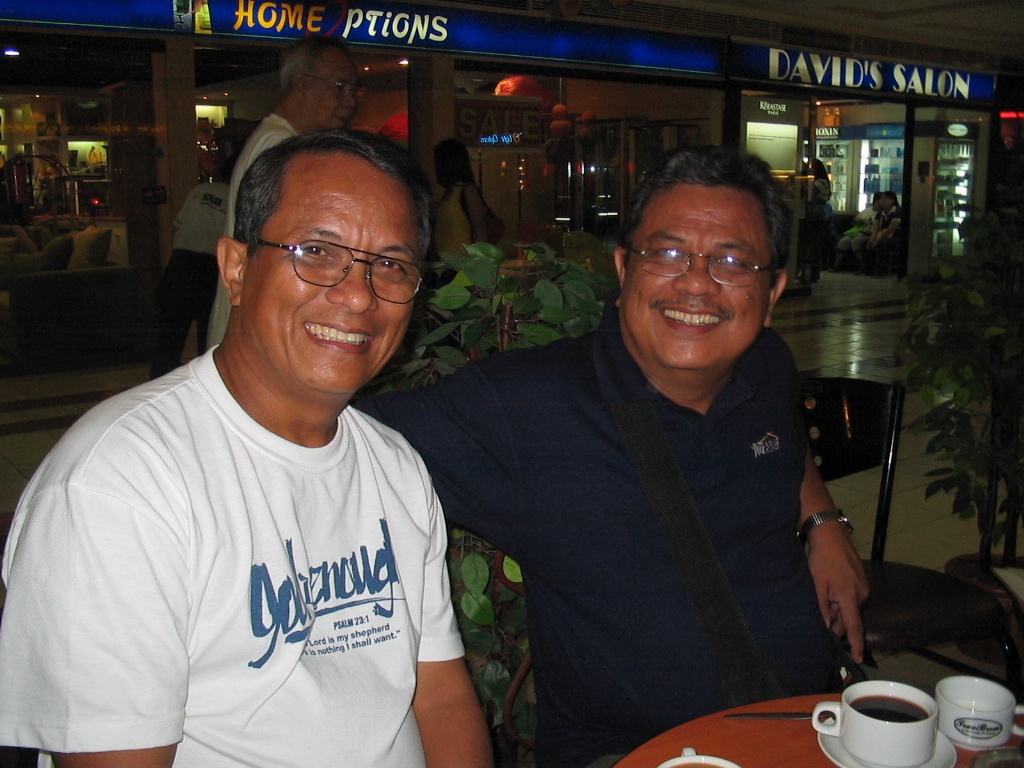
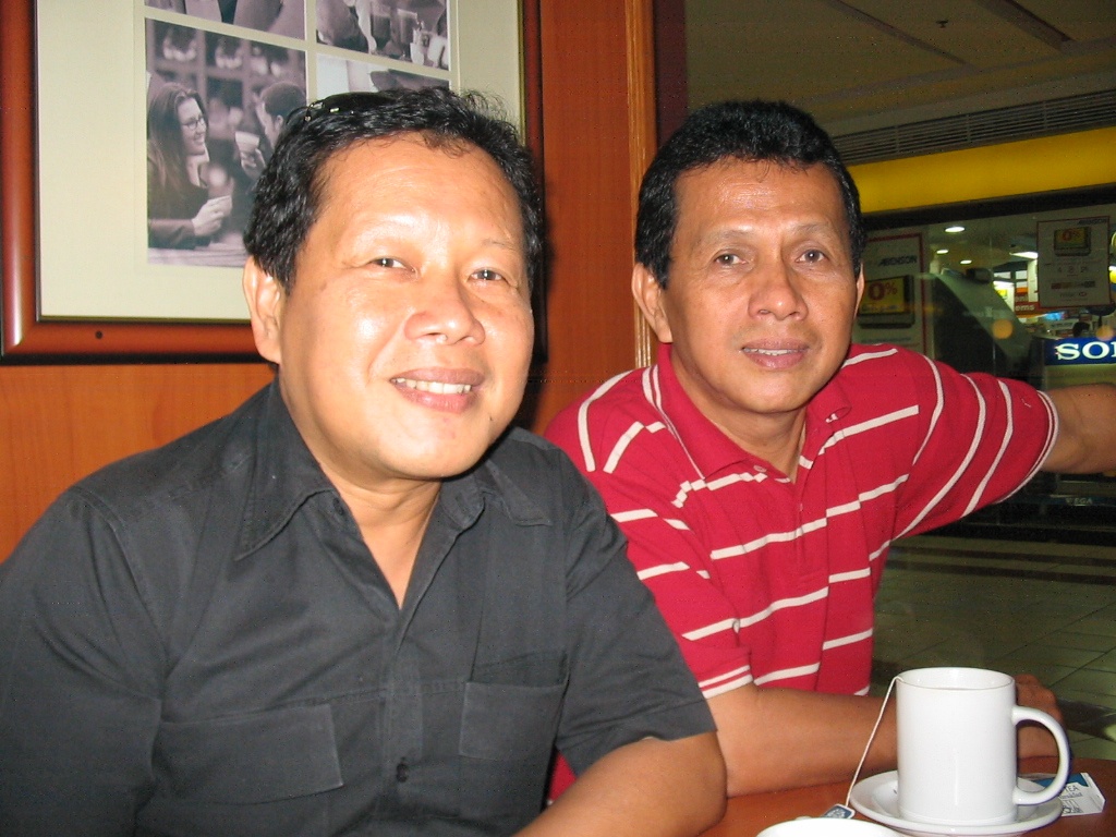
my first day of using this blog

i failed to post my family picture because my pc uploader malfunctioned.
i will try again next time.
wish me luck.
thanks and God bless.

test broadcast

this is my first entry in this brand new blog.

i hope this blog will serve as an avenue for whatrever good and useful information for everybody.

thanks and God bless.